
Royaneh is located about 2.5 miles south of the town of Cazadero in Sonoma County on the Cazadero Hwy. Cazadero is a small town with a population of around 420 folks and was known as the terminus for the North Pacific Coast narrow gauge railway (1874-1931) and the giant Redwoods among other things.
Click here or on the Google map for driving directions and time to camp.
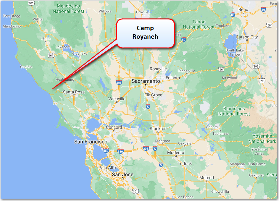
Click here for a PDF map of the direction to camp.
Approximate distances and travel times to Camp Royaneh:
Royaneh is located approximately 18 miles from the Pacific Ocean and during the summer months the temperature has been known to reach into the high 90’s and low 100’s. Cool afternoon breezes keep the camp cool and the shade of the Redwoods is very refreshing.
Click Here or on the Weather Channel image for current weather conditions at camp.
Royaneh Geo Statistics:
![]()